
This is about my little bike tour in Ireland in August 2016. I guess the idea began a year earlier, in 2015, when I was over with my wife & daughter (who was 5 at the time). I have one sister living in Dublin and another in the southeast, close to both Waterford and Carrick-on-Suir, and passing from one to the other I took my two ladies on the scenic route through Wicklow in our rental car. We had our sandwiches by the Glenmacnass waterfall, and I was overtaken by envy watching a couple of bike tourists riding up the hill (where I often used to ride). We also stopped at the Shay Elliott memorial on the road from Laragh to Glenmalure. Now, no cyclist can pass the Shay memorial by car without a twinge of shame. You go there on a bike, dammit, and you mutter “Howyeh Shay”, or “Alright Shay”, maybe stopping for a moment. I remember stopping at the picnic tables that used to be by the entrance to the wood more or less opposite and consuming a can of Heineken in the mist becoming drizzle and the last light of the day – before flying down the descent, burning out my headlamp bulb (anyone remember the Sanyo bottom-bracket dynamos?) and going airborne over the humpback bridge near the bottom on the way to the camping spot by the river in the bit of forest that has since been felled. And is growing again. It’s been a while.
So the first half of 2016 involved a certain amount of renovation and re-equipping of the Good Bike, but not a lot of training, in fact no mountains at all, due to lots of work. The goal being to ride from sister #1 to sister #2 in four days with one “rest” day, a trip I used to do in 2 days by a longer route.
First stage in the process was getting myself and the bike over to Dublin in one piece, and navigating successfully out of the tangle of major roads near the airport, all of which have been built since I left the country, to the house of sister #1 (past the Topaz filling station, to the Naul Road – roundabout – Stockhole Lane to Baskin Lane across to the Malahide Road at Kinsealy: thus avoiding the old Belfast road (now R132) and the Northern Cross road to Clare Hall (R139) and crossing the M1 on a bridge). And then:
Day 1:
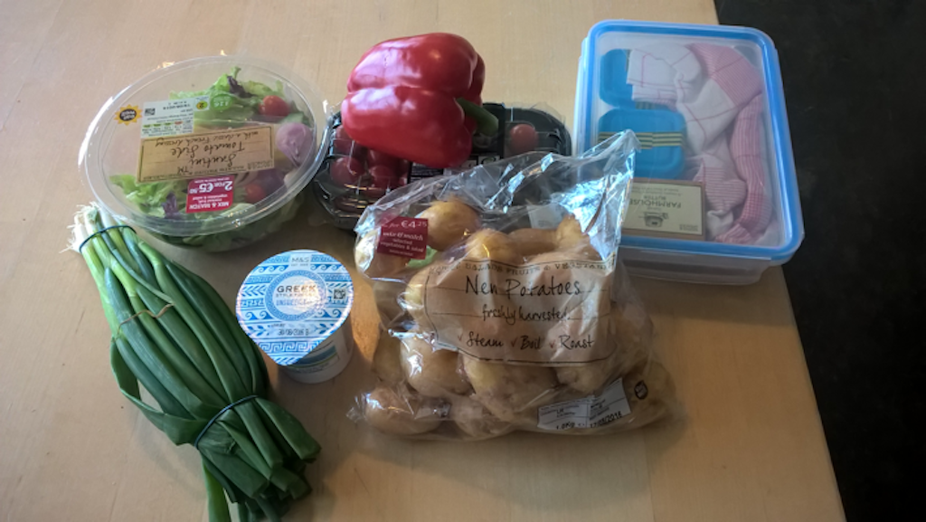
Nipped into town and shopped for grub and also a map – Easons of O’Connell St. still have most of the Ordnance Survey maps, as they have always done. Went back & loaded up bike. Headed off a bit after midday. Destination: Knockree YH.
Weather fine and warm. Stopped for a bit of historical sightseeing by Herbert Park in Donnybrook. My grandfather grew up in No. 42 Home Villas; something I’d only become aware of recently when looking him up in the International Red Cross archive of documents on POWs from the First World War; amazing how much stuff is now online and what records exist on individual other-ranks soldiers. Their lives weren’t worth much on the battlefield, but by God forms were filled out.


From there my route went out through Goatstown, crossing the M50 at the Sandyford roundabout. It was a bit scary heading into the middle lane on this roundabout on a slow, loaded bike and having to exit it up the steep Kilgobbin Hill – all stuff that didn’t exist back in the day – but to be fair, the drivers were nice to me at this point. (Looking at the map now, I think a better route across the M50 would be via Shankill and the R116 Bride’s Glen Rd.). If I was minded, I could write up the route across Dublin into quite a substantial report on sometimes substandard, occasionally quite good but mostly very inconsistent cycling lanes and paths, but that wasn’t my purpose.
On from Stepaside through Kilternan to the Scalp, which used to be the first taste of the mountains. Experienced much general ignorance and aggression of drivers on this section, spoiling the descent considerably, and I think I’d probably avoid it (again, approaching Enniskerry on the back roads from the Shankill direction seems more promising).
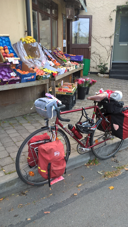
I fetched up in Enniskerry opposite a very nice grocery/veg. shop which wasn’t there in the old days. If I’d known it was there I could have saved myself hauling a few days’ worth of food across town. There’s a wee supermarket down the hill by the monument too. One could stock up for the hills here.
Soon after Enniskerry was the first bit where I had to push the bike up a hill, but it levels out a bit after a few hundred yards and the rest of the way to the YH is easy. I saw my first sheep of the trip and the road begins to look and feel like a proper Irish country road used to – at least when an oversized SUV isn’t passing.


Knockree hostel presented itself in a new and modern shape (to me); An Óige, the Irish YHA, used to have a lot of very basic hostels and it seems that in the meantime they’ve sold off many of them and upgraded the rest to modern standards. In Wicklow the hostels at Baltyboys, Ballinclea, Glencree and Tiglin are gone and the one in Glendalough has moved to a new site; in Co. Kilkenny, Foulksrath, which was in a square Norman keep, is gone. In any case, Knockree is just fine and served its purpose excellently. A good feed of tatties and salad and a long Irish summer evening.


Day 2:
My destination was the YH in Glenmalure. First I had to head up the north side of the Glencree valley to the former YH and then on up the Military Road across the Sally Gap. A light rain set in as I was setting off though it was warm and by the time I got to Glencree I was in an interesting state of sweaty and drizzled on.
On the way up to the Sally Gap, there is a steep section by Lough Bray. In all of my cycling career, I’ve pushed this bit more often than ridden it, though in the old days my bottom gear was 42:28; now it was 30:28 and the pushing started a fair bit lower down. The rain gradually became heavier, the way it does in Ireland; here in our bit of Austria, we don’t really have this fine shading of one sort of rain into another.

Not far after that you come out on the plateau with Kippure to the right and Djouce somewhere away to the left. Up here it was rainy and windy and I was in full rain gear. Soon revealing the weakness of my non-Lycra outfit because I was getting fairly wet inside too, despite having a fairly good breathable rain jacket and trousers.
The Sally Gap crossroads was pretty rainswept.

I loved the ups and downs from the Sally Gap across to Glenmacnass, as always, but stopping to admire the view at the waterfall wasn’t in it, as the rain intensified to a downpour just there. Passed a couple of well-washed looking riders. Traffic-wise, the roads up in the mountains were pretty much as quiet as ever. Mostly just me and the sheep.

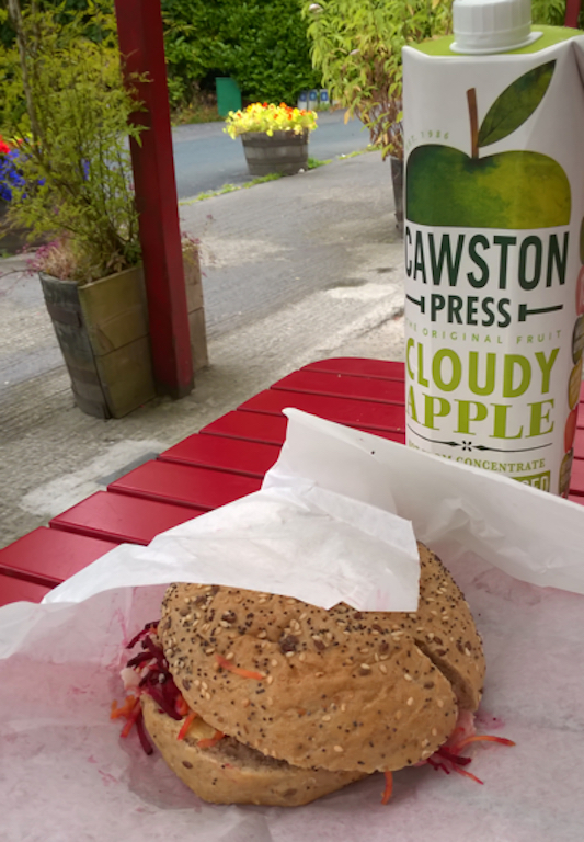
Stopped for lunch at the shop in Laragh. This used to be a classic country shop with petrol pumps and – very important – an ice-cream machine. Now more of a café, no pumps and the selection of groceries not quite overwhelming. Still, my sandwich was decent enough. Another bloke with luggage on his bike was there, wearing shorts and short sleeves but overshoes, baggy overshorts and a rainproof gilet, which may well be the best gear for that weather.
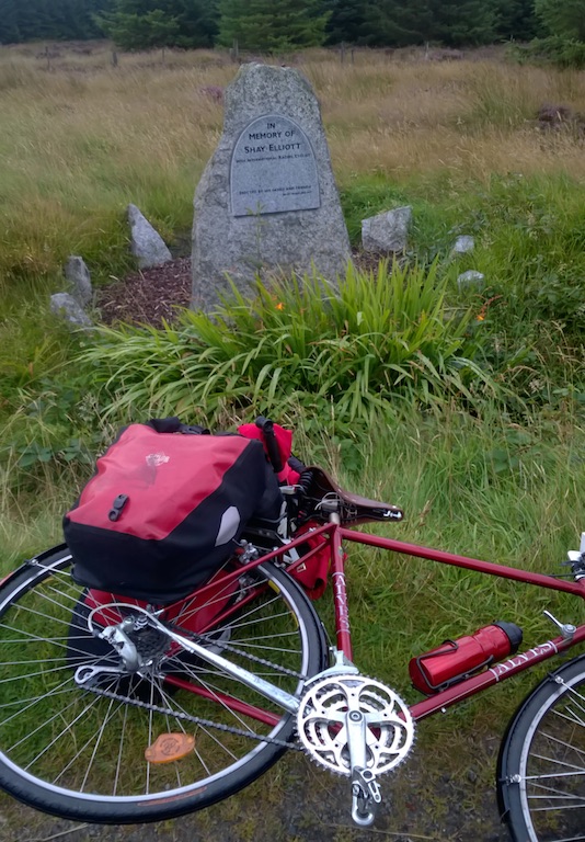
On up towards Glenmalure and just after the turn off from the Rathdrum road outside Laragh, the first several hundred yards are steep and had me pushing again. But when that was done, the rain lifted. And the rest of the climb is stiffish, but constant and rideable, even for my unfit self, winding up from fields to wilder moor, into the woods, out again to banks of heather and gorse and finally to the top. Only two small breathers photo stops were had. The Shay Elliott memorial is for some reason a few yards south of the highest point. This was one of his favourite training routes, and it often features in races – as can be seen in the writing on the road.


Then came the descent into Glenmalure and what one tends to think will be a flat run up the valley to the youth hostel – but it isn’t: the valley road has quite a number of stiff little bumps.
On the way up the valley, I had a proverbial Irish holiday encounter with some sheep (see picture captions):


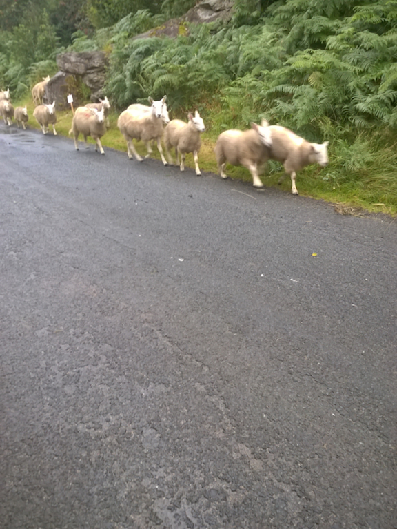
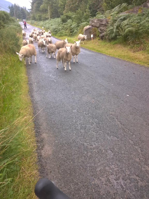
Anyway, the last group of sheep broke away and didn’t want to go past me. Maybe it was my bright red jacket – a steady rain had started up again – I don’t know what bothers sheep. So the sheep man and his dog have to go back a bit and round them up and hoosh them past me. And just when I’m thinking it’s time to apologise for the bother, sheep man looks at me and says: “Are yeh out for a bit of an oul’ cycle?” Well, there was no comeback to that, so I said “I am,” and continued on my way.
Here’s what the top end of the valley looks like – up there is the youth hostel, a mile or two after the last other house.

The setting of the hostel is rather special; quite isolated, no mobile signal, no running water, no electricity. Run by volunteer wardens. It’s often used as a base by outdoor groups heading up Lugnaquilla and the surrounding mountains; the other side of the mountain is the Glen of Imaal artillery range. The night I arrived there were two of us besides the warden. Tea and a Snickers and a bit of chat by candlelight as the evening came down. Tremendously happy at having crossed the mountains by bike for the first time in … I don’t know how many years. Maybe the first time since 1988. Probably the first time on this bike.
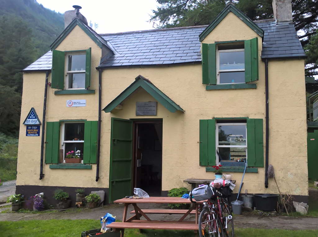


Here’s a video introducing the hostel:
And by the way, here’s one of the climb from Drumgoff crossroads to the Shay Elliott memorial – back up the way I just came down. From Edward Dillon from the 2016 Wicklow 200 sportive:
Leave a Reply
You must be logged in to post a comment.